Norfolk Island International Airport (NLK)
Informations sur l'aéroport - Norfolk Island International Airport, Norfolk
|
Villes à proximité de Norfolk Island International Airport, Norfolk
| Ville, pays | Distance (km) |
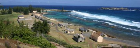
| Kingston | 2.39 km |