Mishmar Ayy Highway Strip H
Informations sur l'aéroport - Mishmar Ayy Highway Strip H, Israël
|
Villes à proximité de Mishmar Ayy Highway Strip H, Israël
| Ville, pays | Distance (km) |
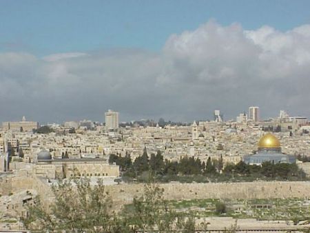
| Jérusalem | 26.2 km |
| Ascalon | 42.96 km |
| Amman | 94.2 km |