Tapa Airfield
Informations sur l'aéroport - Tapa Airfield, Estonie
|
Villes à proximité de Tapa Airfield, Estonie
| Ville, pays | Distance (km) |
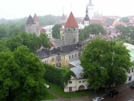
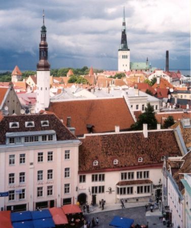
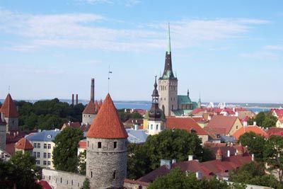
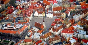
| Tallinn | 71.67 km |
| Viljandi | 99.5 km |
|
| Ville, pays | Distance (km) |
| Tallinn | 71.67 km |
| Viljandi | 99.5 km |