Zorg en Hoop Airport (ORG)
Informations sur l'aéroport - Zorg en Hoop Airport, Suriname
|
Villes à proximité de Zorg en Hoop Airport, Suriname
| Ville, pays | Distance (km) |
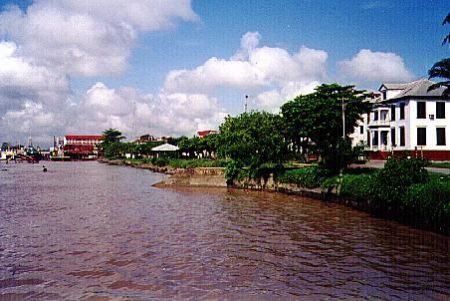
| Paramaribo | 2.4 km |
|
| Ville, pays | Distance (km) |
| Paramaribo | 2.4 km |