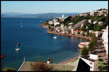
Palmerston North Hospital Heliport
Informations sur l'aéroport - Palmerston North Hospital Heliport, Nouvelle-Zélande
|
Villes à proximité de Palmerston North Hospital Heliport, Nouvelle-Zélande
| Ville, pays | Distance (km) |
| Wanganui | 67.23 km |