Gunnarsholt Airport
Informations sur l'aéroport - Gunnarsholt Airport, Islande
|
Villes à proximité de Gunnarsholt Airport, Islande
| Ville, pays | Distance (km) |
| Stokkseyri | 38.12 km |
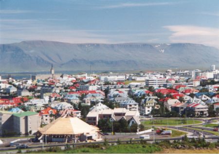
| Reykjavik | 85.91 km |
|
| Ville, pays | Distance (km) |
| Stokkseyri | 38.12 km |
| Reykjavik | 85.91 km |