Port San Carlos Landing Strip

Informations sur l'aéroport - Port San Carlos Landing Strip, Falkland, îles (îles Malouines)

Description Valeur
IATA
(Code d'aéroport international Air Transport Association)
Aucun code IATA
Type Petit aéroport
Code de l'aéroport le plus proche -
Code d'aéroport GPS
Longitude -51.5016670227051
Latitude -59.0036125183105

Villes à proximité de Port San Carlos Landing Strip, Falkland, îles (îles Malouines)

Ville, pays Distance (km)
Port Stanley 83.89 km

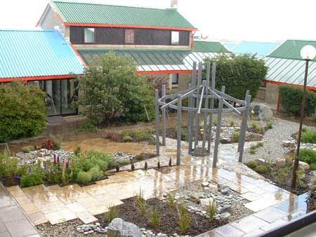
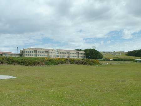
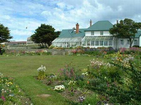
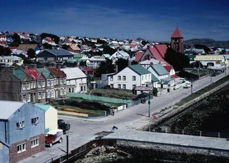
Photos près de Port San Carlos Landing Strip, Falkland, îles (îles Malouines)

Blue Beach War Cemetary, Port San Carlos Port San Carlos HMS CLYDE HMS Antelope. 23 May 1982.
 
San Carlos Water, East Falkland RFA WAVE RULER San Carlos Water MOB Drill in San Carlos Water, Falkland Islands Ajax Bay Refrigeration Plant, Site of Field Hospital in 1982
 
Port San Carlos Ajax Bay 1985 Settlement at Blue Beach Blue Beach War Cemetary, Port San Carlos
 
Port San Carlos San Carlos - Col H Jones VC San Carlos San Carlos, East Falkland San Carlos Water, East Falkland
 

Photos de Port San Carlos Landing Strip