Clarence A. Bain Airport (MAY)
Informations sur l'aéroport - Clarence A. Bain Airport, Bahamas
|
Villes à proximité de Clarence A. Bain Airport, Bahamas
| Ville, pays | Distance (km) |
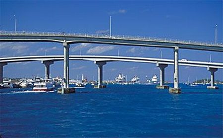
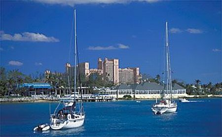
| Nassau | 92.72 km |
|
| Ville, pays | Distance (km) |
| Nassau | 92.72 km |