Queen Beatrix International Airport (AUA)
Informations sur l'aéroport - Queen Beatrix International Airport, Arouba
|
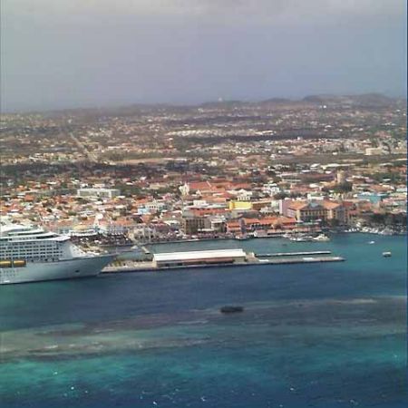
Villes à proximité de Queen Beatrix International Airport, Arouba
| Ville, pays | Distance (km) |
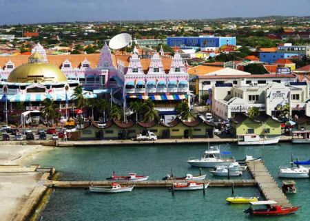
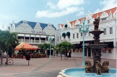
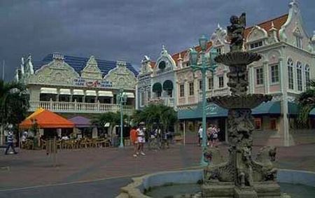
| Oranjestad | 2.71 km |